

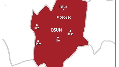

Following the consistent movement of mini aircraft specially designed for airborne geophysical survey, the Osun Government has urged citizens and residents in the State not to panic as their security and safety remains its topmost priority.

The government noted that it was aware of the yellow painted helicopter that has been flying round some parts of the State, adding that the exercise was designed for airborne geophysical survey to determine accurate mineral locations in the selected areas with state-of-the-art aeromagnetic mechanisms.
This is contained in a statement signed by the Secretary to the State Government, SSG, Prince Wole Oyebamiji to douse the possible fear that may accompany the perceived strange air surveillance.
Recall that Federal Ministry of Mines and Steel had few days ago, through its Mineral Sector Support for Economic Diversification (MinDiver) Project, announced its readiness to embark on a 16 weeks sensitization campaign in 19 states of the federation.

The affected States are: Osun, Ondo, Oyo, Ogun, Ekiti, Kwara, Nasarawa, Plateau, Kogi, Cross-River, Akwa-Ibom, Ebonyi, Kaduna, Taraba, Bauchi, Niger, Benue, Enugu and the Federal Capital Territory, Abuja.

The State Government further disclosed that the exercise is being conducted across 112 Local Government Areas within the said 19 states which had informed the need for the aircraft to fly at low altitude.
The statement implored the residents to continue to go about their lawful activities as adequate environmental safety measures have been put in place with full collaboration of the necessary security stakeholders to ensure a seamless process in the State.
“This exercise embarked upon by the Federal Government is designed to obtain airborne geophysical data which are essential documents of the National Geological Infrastructure, as they provide objective information on the spatial distribution of the geological information and tectonics,” the statement added. Continue Reading